Elevate Your Perspective with Professional Drone Services

GB Tech Aerial provides high-quality drone services across the UK, including aerial photography, inspections, and 3D mapping. We deliver reliable, professional results that clients can trust — whether capturing stunning imagery, conducting detailed roof and asset inspections, or producing accurate mapping and survey data.

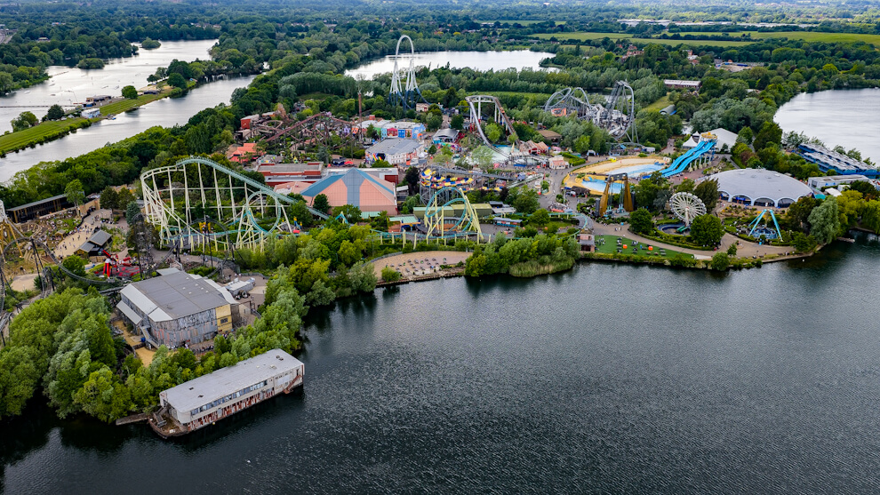
A high-resolution drone photograph of Thorpe Park amusement park in Thorpe Village, Surrey, showing rollercoasters, rides, and surrounding lakes
Who We Are

Sharper Insights from Above

At GB Tech Aerial, we provide accurate aerial data and visuals that empower confident, informed decision-making.

Why Work with Us

Time-Saving, High-Impact Solutions

Our drone services save you valuable time, allowing you to focus on what truly matters in your projects.

Rapid turnaround on aerial projects
Streamlined processes that lighten your workload
Enhanced visuals that simplify property marketing
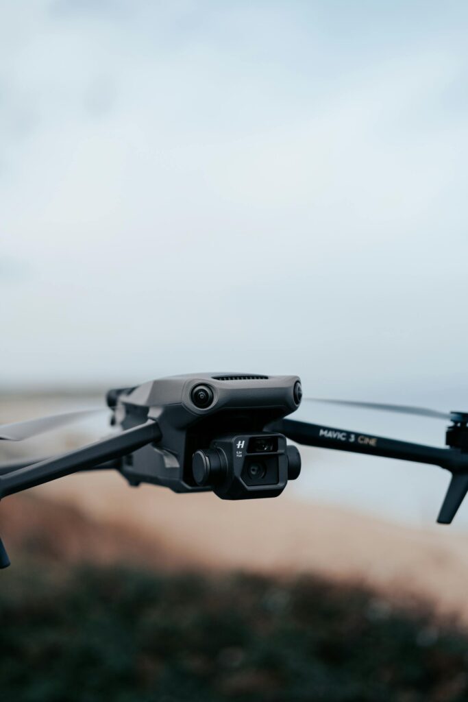
Close-up of DJI Mavic 3 Cine drone camera for aerial photography and inspections.
Our Key Services

End-to-End Aerial Solutions Tailored to You

Explore our range of services tailored to meet your aerial requirements.

Aerial Photography

Showcase properties, landscapes, or sites from unique perspectives to enhance marketing and presentations.

Aerial Videography

Capture cinematic drone footage that engages clients and brings your projects to life.

Inspections

Conduct safe, detailed inspections of roofs, buildings, and land without scaffolding or ladders.

3D Mapping

Generate accurate, high-resolution 3D maps for planning, construction, and asset management.

Aerial Data & Analysis

Extract meaningful insights from drone data to support operational and strategic decisions.

Bespoke Aerial Solutions

Collaborate with us to design custom services tailored to your project.

Our Promise

Committed to Excellence in Every Flight

We deliver the highest standards of service, safety, and visual quality to ensure your project’s success.

Benefits

Unlock New Perspectives

With our state-of-the-art drones, you’ll get stunning aerial photography and videography to enhance your marketing and property assessments.

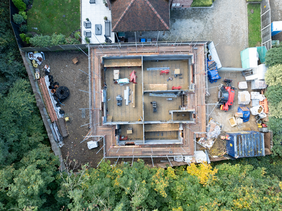
Drone photo showing a house under construction without a roof in Thames Valley, UK
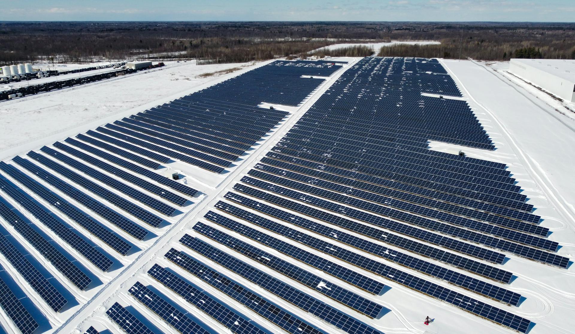
Aerial drone image of a large solar panel farm in winter, ideal for inspection and maintenance services.
Benefits

Streamline Operations with Efficient Data Collection

Save time and cut costs with accurate inspections and 3D mapping that accelerate decision-making and reduce on-site risks.

Exceptional Aerial Solutions

Why Choose GB Tech Aerial?

We’re trusted by estate agents, engineers, property developers, and landowners for:
– Cutting-edge drone technology
– Industry-specific aerial data
– Fast, reliable turnaround
– Tailored services with a personal touch

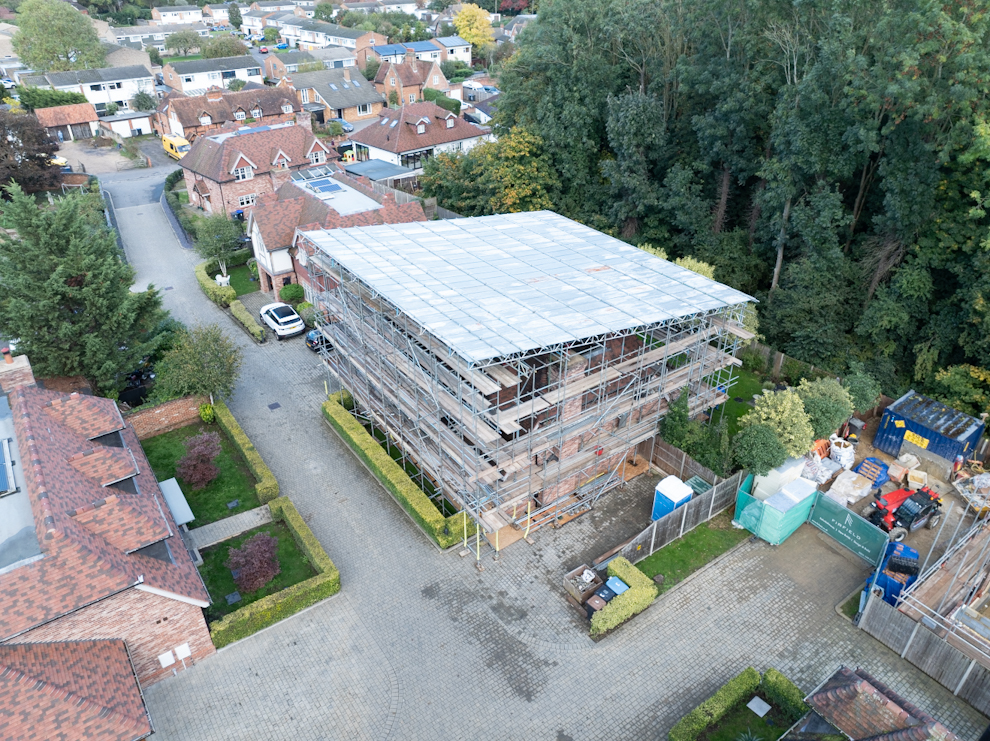
Drone image showing a scaffolded house surrounded by residential buildings and trees
Hear from Our Clients

Testimonials

What Our Clients Say

Frequently Asked Questions

Get answers to your queries about our services.

Ready to Elevate Your Project?

Let’s Take Your Project to New Heights!

Ready to explore how drone services can enhance your next project?
We’re here to help you achieve your vision.

By clicking Send Enquiry, you confirm that you agree to our Terms & Conditions and Privacy Policy.

Scroll to Top